NOAA Coral Reef Watch Daily Global 5-km Satellite Monitoring Marine Heatwave Watch
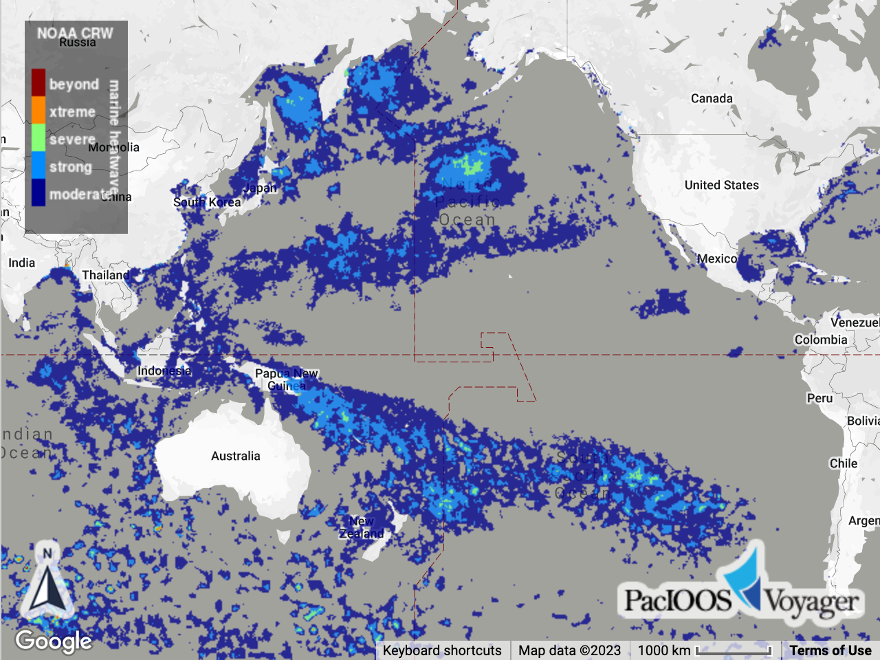
Marine heatwaves are modelled off their terrestrial namesakes and are prolonged periods of anomalously high sea surface temperature (SST). In effect, they are categorized SST anomalies. They are also a more general version of the Coral Reef Watch (CRW) daily global 5km coral bleaching "HotSpot" product. Rather than being aimed specifically at corals, however, they provide a more generalized description of marine heat stress that is likely applicable to a broader range of marine life. This daily global 5km-resolution Marine Heatwave Watch (MHW) product is derived by applying the marine heatwave algorithm of Hobday et al. (2018) to the daily global 5km "CoralTemp" SST data product. CoralTemp is one of the best and most internally consistent daily global 5km SST products available, which allowed for the creation of an accurate climatology. This enabled the derivation of an accurate, consistent MHW product (comprised of near real-time and historic components), stretching back over three decades. Provides the most recent 3 years of data only; for the full time series, see PacIOOS ERDDAP instead.
Data and Resources
-
ERDDAP
ERDDAP-GridDAP
This URL provides a viewer and/or data access for this dataset.
-
ERDDAP
ERDDAP-GridDAP
This URL provides a viewer and/or data access for this dataset.
-
OPeNDAP
OPeNDAP
THREDDS OPeNDAP
-
OGC-WCS
WCS
Open Geospatial Consortium Web Coverage Service (WCS)
-
OGC-WMS
WMS
Open Geospatial Consortium Web Map Service (WMS)
-
THREDDS Catalog
This URL provides a catalog page for this dataset within THREDDS Data Server...
-
File Information
HTML
This URL provides a standard OPeNDAP html interface for selecting data from...
-
PacIOOS Voyager (Google Maps API)
This URL provides a viewer and/or data access for this dataset.
-
Related URL
This URL provides additional information related to this dataset.
-
Unnamed resource
-
Unnamed resource
-
THREDDS_NetCDF_Subset
HTML
THREDDS NetCDF Subset Service
-
ISO-19139 (Local) Metadata
The XML content as stored locally by CKAN
-
ISO-19139 (IOOS Registry)
The XML content as published by the IOOS Registry
Graphic Preview
Metadata Date
Metadata Tags
| Online Access |
ERDDAP (DAP Client Access) These data are available for access with an ERDDAP client ERDDAP (DAP Client Access) These data are available for access with an ERDDAP client OPeNDAP (DAP Client Access) These data are available for access with an OPeNDAP client OGC:WCS (OGC Web Coverage Service) These data are available for access with an OGC WCS compatible client OGC:WMS (OGC Web Map Service) These data are available for access with an OGC WMS compatible client
|
| Distribution Formats |
|
| Distributor | NOAA Coral Reef Watch (CRW) |
| Point of Contact |
NOAA Coral Reef Watch (CRW) coralreefwatch@noaa.gov Online Resource |
| Originator |
NOAA Coral Reef Watch (CRW) coralreefwatch@noaa.gov Online Resource |
| Publisher |
Pacific Islands Ocean Observing System (PacIOOS) info@pacioos.org Online Resource |
| Dataset Point of Contact |
Pacific Islands Ocean Observing System (PacIOOS) info@pacioos.org |
| General Documentation |
Related URL
|
| Associated Documentation |
NOAA Coral Reef Watch (CRW)
|
| Date(s) |
creation:
2019-11-19
issued: 2019-11-19 revision: 2021-09-22 creation: 2019-11-19 issued: 2019-11-19 revision: 2021-09-22 creation: 2019-11-19 issued: 2019-11-19 revision: 2021-09-22 creation: 2019-11-19 issued: 2019-11-19 revision: 2021-09-22 creation: 2019-11-19 issued: 2019-11-19 revision: 2021-09-22 |
| Edition |
1.0.1 |
| Purpose | PacIOOS provides timely, reliable, and accurate ocean information to support a safe, clean, productive ocean and resilient coastal zone in the U.S. Pacific Islands region. |
| Use Limitations |
The data produced by Coral Reef Watch are available for use without restriction, but Coral Reef Watch relies on the ethics and integrity of the user to ensure that the source of the data and products is appropriately cited and credited. When using these data and products, credit and courtesy should be given to NOAA Coral Reef Watch. Please include the appropriate DOI associated with this dataset in the citation. For more information, visit the NOAA Coral Reef Watch website: https://coralreefwatch.noaa.gov. Recommendations for citing and providing credit are provided at https://coralreefwatch.noaa.gov/satellite/docs/recommendations_crw_citation.php. Users are referred to the footer section of the Coral Reef Watch website (https://coralreefwatch.noaa.gov/index.php) for disclaimers, policies, notices pertaining to the use of the data.
|
| Time Period | 2021-06-01T12:00:00Z to 2024-05-31T12:00:00Z |
| Spatial Bounding Box Coordinates | N: 89.975° S: -89.975° E: 179.97501° W: -179.97501° |
| Theme keywords |
GCMD Science Keywords
GCMD Platform Keywords
GCMD Instrument Keywords
CF Standard Name Table v39
|
| Data Center keywords |
GCMD Data Center Keywords
|
| Place keywords |
GCMD Location Keywords
|
| Project keywords |
GCMD Project Keywords
|
| Use Constraints |
The data produced by Coral Reef Watch are available for use without restriction, but Coral Reef Watch relies on the ethics and integrity of the user to ensure that the source of the data and products is appropriately cited and credited. When using these data and products, credit and courtesy should be given to NOAA Coral Reef Watch. Please include the appropriate DOI associated with this dataset in the citation. For more information, visit the NOAA Coral Reef Watch website: https://coralreefwatch.noaa.gov. Recommendations for citing and providing credit are provided at https://coralreefwatch.noaa.gov/satellite/docs/recommendations_crw_citation.php. Users are referred to the footer section of the Coral Reef Watch website (https://coralreefwatch.noaa.gov/index.php) for disclaimers, policies, notices pertaining to the use of the data.
|
| Lineage Statement | 2021-09-22T12:00:00Z Initial version released: v1.0. 2021-09-22T12:00:00Z Version 1.0.1 released. Fixed minor compatibility issue loading data into GIS applications by altering dimension names and coordinate variable names. 2023-01-05T19:26:00Z Data obtained from NOAA Coral Reef Watch and re-distributed via THREDDS Data Server (TDS) at PacIOOS to provide temporal aggregation and distribution through NetCDF/OPeNDAP utilities like ncWMS and ERDDAP. 2024-01-12T22:35:00Z Due to ongoing difficulty serving the entire time series aggregation through TDS, we are now limiting access to the latest 3 years. For the full time series, see PacIOOS ERDDAP instead. 2024-03-20T21:18:00Z Full time series aggregation now restored in TDS; no longer limited to latest data. 2024-04-04T07:21:00Z Due to ongoing difficulty serving the entire time series aggregation through TDS, we are now limiting access to the latest 3 years. For the full time series, see PacIOOS ERDDAP instead. |
| Platforms | |
|---|---|
| Ingestion Attributes | |
| Instrument Attributes | |
| Attribution Information | |
| CF related |